
Mam Tor - Peak District Walk
Saturday 2nd June 2007
It was surprisingly hot today and we were definitely glad of the breeze that helped to keep us cool as we crossed Rushup Edge and Brown Knoll. After the previous week's rain there was slight element of bog-hopping with the summit of Brown Knoll being particularly boggy, although it has to be said that it was better than usual as we could actually reach the trig point.
Start: Edale car park (SK 1240 8531)
Route: Edale car park - Hollins Cross - Mam Tor (TP) - Rushup Edge - Brown Knoll (TP) - Jacob's Ladder - Upper Booth - Edale car park
Distance: 9.75 miles Ascent: 565 metres Time Taken: 4 hrs 45 mins
Weather: Hot and sunny, with a welcome breeze.
Pub Visited: Old Nags Head, Edale Ale Drunk: Black Sheep Best Bitter
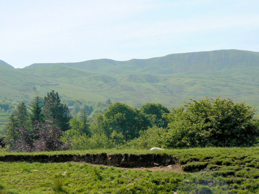
Looking up to Rushup Edge as we start the climb to Hollins Cross.
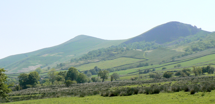
Lose Hill (L) and Back Tor (R) from just above Peter Barn.
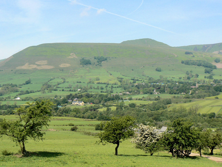
Grindslow Knoll across the valley.
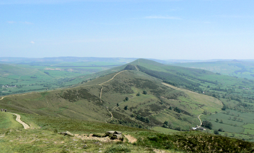
Looking back along the ridge from Mam Tor to Lose Hill.
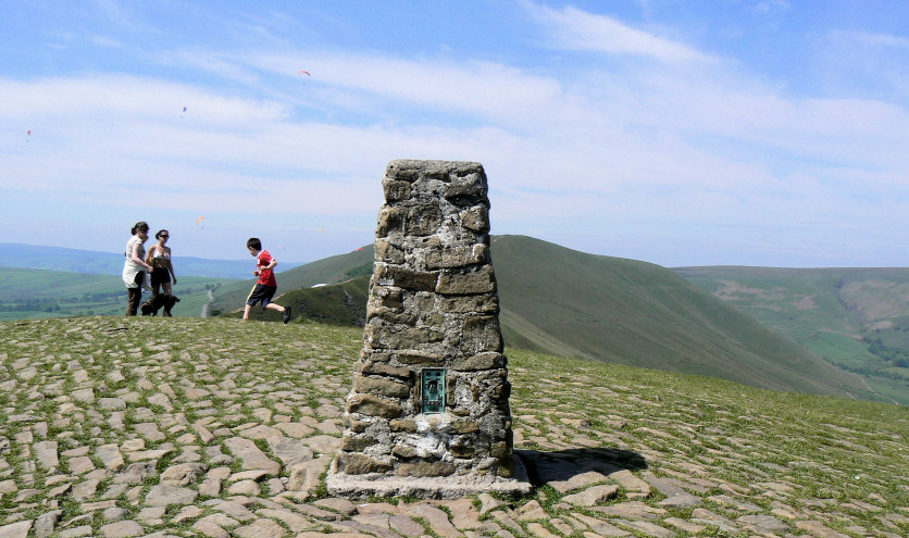
Mam Tor's summit with Rushup Edge behind.
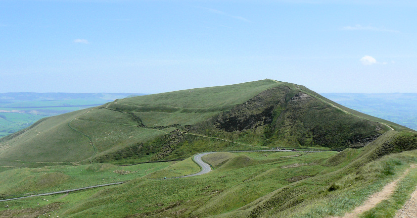
Mam Tor from Rushup Edge.
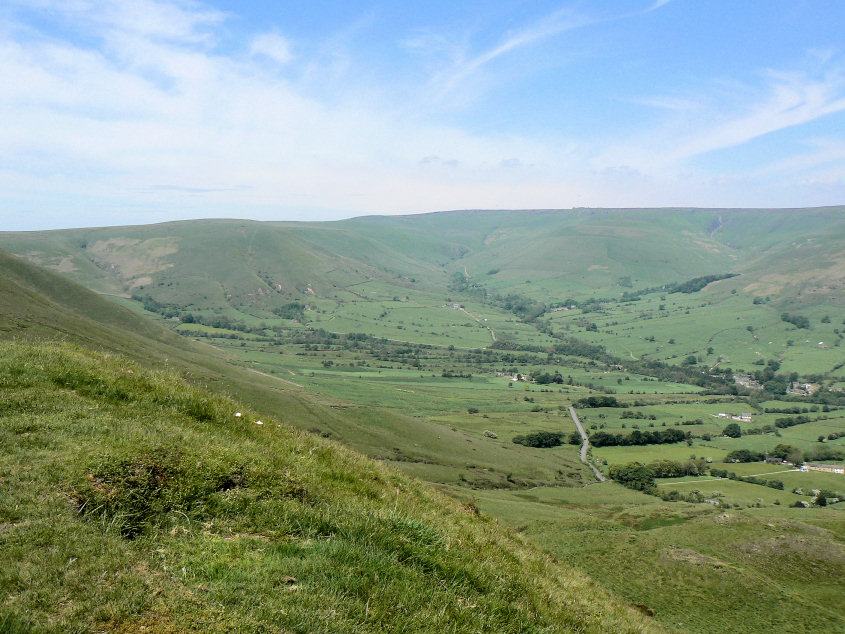
The head of the Vale of Edale and our return route along the valley floor.
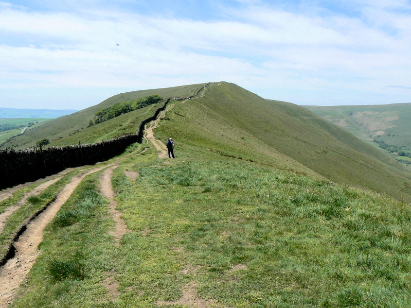
Looking along Rushup Edge to Lord's Seat.
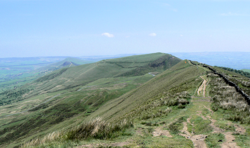
Rushup Edge and Mam Tor from Lord's Seat.
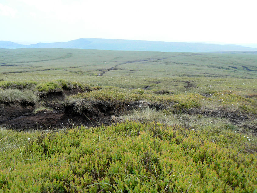
Brown Knoll.
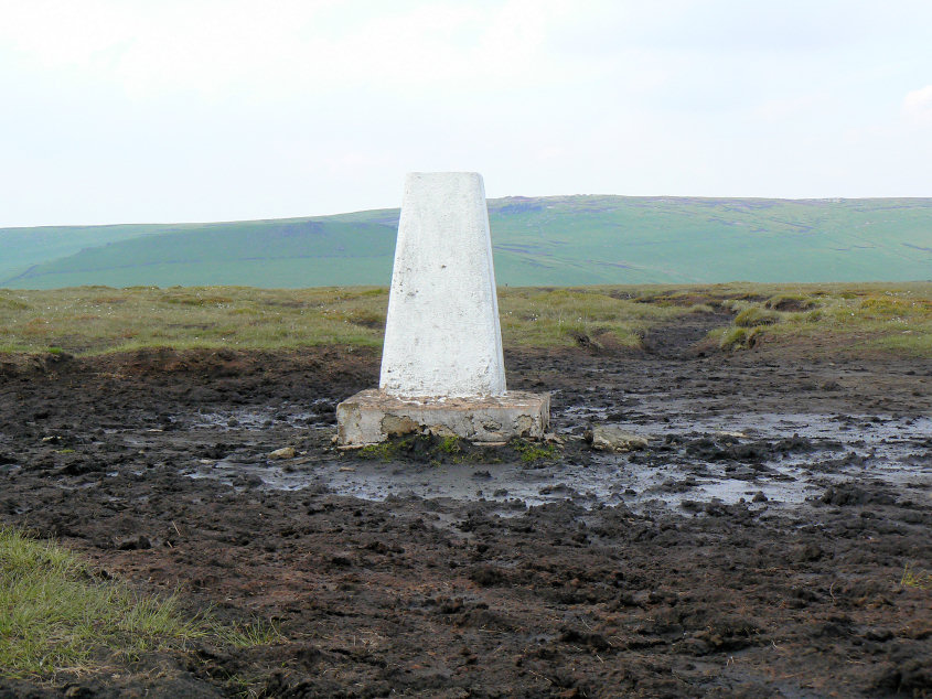
Brown Knoll's summit with Kinder Scout behind.
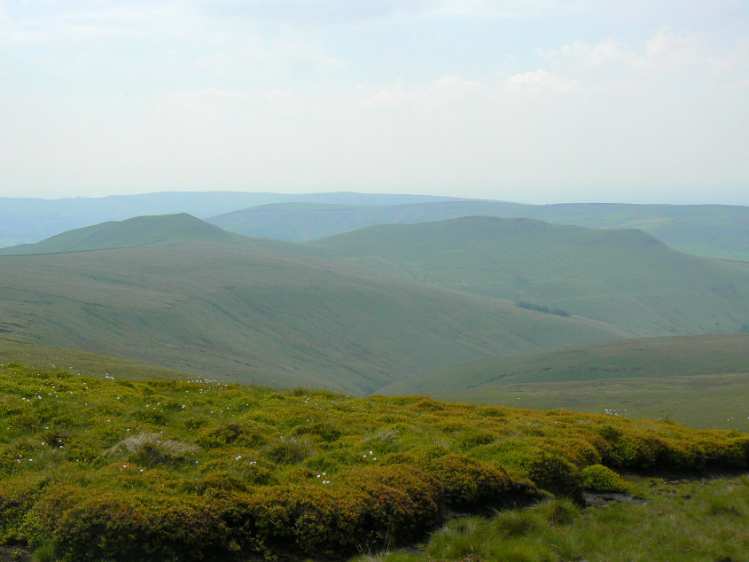
South Head and Mount Famine.
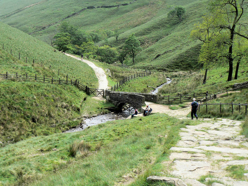
Reaching the bottom of Jacob's Ladder.
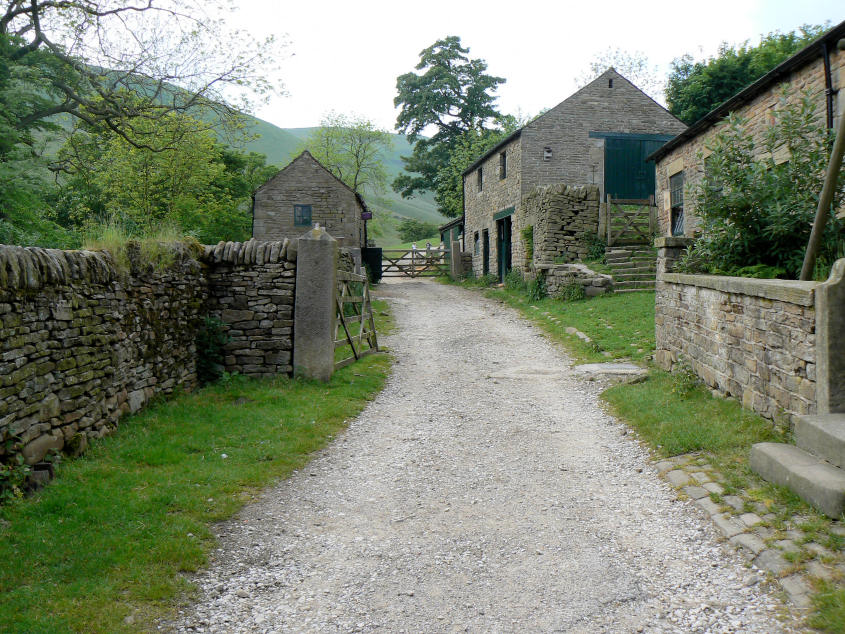
Lee House.
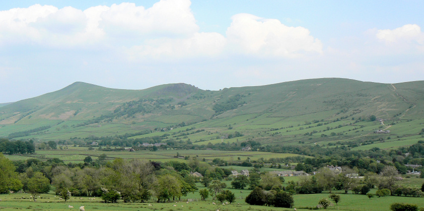
A clearer view of Back Tor and Lose Hill now that the haze has lifted.
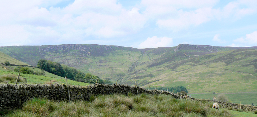
Nether Tor (L) and Ringing Roger (R) as we approach Edale.
All pictures copyright © Peak Walker 2006-2023